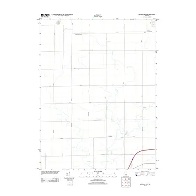
2012 Map of Weldon West
USGS Topo · Published 2012About this map
The settlement of Lane stands at the northwestern corner of this Central Illinois landscape, where the flat agricultural terrain is defined by a rigorous grid of section-line roads. Friends Cr provides the primary natural relief, its winding path cutting through the township and supporting the local ecosystem amidst the sprawling farm plots. This drainage pattern influenced the placement of early local landmarks, including Long Cem and the Friends Creek Park Rd corridor.
Find a feature on this map
38 named features on this map. Tap any name to fly to it.
Don’t see what you’re looking for? This feature index may not catch every label — zoom into the map to look around manually.
Map Details
Editions of this 2012 Weldon West Map
This is the sole edition of this map. No revisions or reprints were ever made.
Other maps of this area

1929 · Decatur
USGS Topo · 1:62,500

1933 · Decatur
USGS Topo · 1:62,500

1937 · Monticello
USGS Topo · 1:48,000

1943 · Monticello
USGS Topo · 1:62,500

1955 · Bement
USGS Topo · 1:62,500

1957 · Maroa
USGS Topo · 1:62,500

1958 · Peoria
USGS Topo · 1:250,000

1958 · Decatur
USGS Topo · 1:250,000

1961 · Peoria
USGS Topo · 1:250,000

1961 · Decatur
USGS Topo · 1:250,000