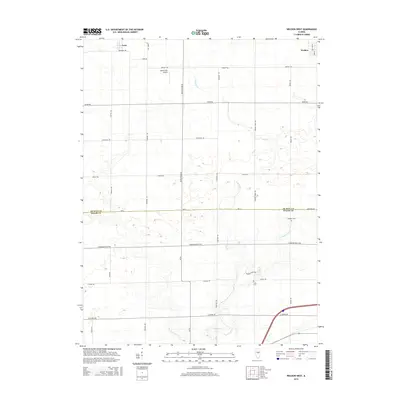
2015 Map of Weldon West
USGS Topo · Published 2015About this map
The agrarian landscapes of central Illinois define this 2015 study of the borderlands between De Witt Co and Macon Co. Centered on the upper reaches of Friends Cr, the terrain is dominated by a grid of rural routes like White Pigeon Rd and Central Rd that connect small settlements and family farms. The village of Weldon occupies the northeastern corner, while the community of Lane sits to the west along Broadway Rd. Local genealogy and land use are preserved through the identification of legacy sites such as Chandler Cem and Long Cem, which sit alongside the managed waterways of the Friends Cr Ditch. This era shows the continued integration of private aviation into the rural fabric, evidenced by the Martin RLA Airport located north of Jefferson Rd.
Find a feature on this map
31 named features on this map. Tap any name to fly to it.
Don’t see what you’re looking for? This feature index may not catch every label — zoom into the map to look around manually.
Map Details
Editions of this 2015 Weldon West Map
This is the sole edition of this map. No revisions or reprints were ever made.
Other maps of this area

1929 · Decatur
USGS Topo · 1:62,500

1933 · Decatur
USGS Topo · 1:62,500

1937 · Monticello
USGS Topo · 1:48,000

1943 · Monticello
USGS Topo · 1:62,500

1955 · Bement
USGS Topo · 1:62,500

1957 · Maroa
USGS Topo · 1:62,500

1958 · Peoria
USGS Topo · 1:250,000

1958 · Decatur
USGS Topo · 1:250,000

1961 · Peoria
USGS Topo · 1:250,000

1961 · Decatur
USGS Topo · 1:250,000