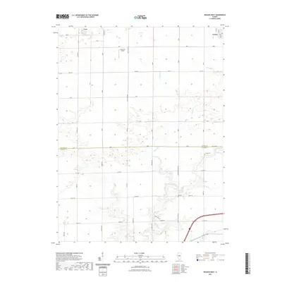
2021 Map of Weldon West
USGS Topo · Published 2021About this map
The village of Weldon and the small community of Lane anchor the northern landscape of this DeWitt County survey. Set against a backdrop of organized agricultural parcels, the region is defined by a rigid grid of rural corridors such as White Pigeon Rd and Ospur Rd. The terrain is drained by the winding course of Friends Cr, which transitions into the engineered Friends Cr Ditch as it crosses the southern boundary into Macon County. Local history is preserved in small land-use markers like Chandler Cem and Long Cem, while the Martin RLA Airport provides a modern navigational landmark amidst the fields. The map captures the enduring rural character of the Illinois prairie, showing the intersection of traditional township layouts with modern infrastructure.
Find a feature on this map
41 named features on this map. Tap any name to fly to it.
Don’t see what you’re looking for? This feature index may not catch every label — zoom into the map to look around manually.
Map Details
Editions of this 2021 Weldon West Map
This is the sole edition of this map. No revisions or reprints were ever made.
Other maps of this area

1929 · Decatur
USGS Topo · 1:62,500

1933 · Decatur
USGS Topo · 1:62,500

1937 · Monticello
USGS Topo · 1:48,000

1943 · Monticello
USGS Topo · 1:62,500

1955 · Bement
USGS Topo · 1:62,500

1957 · Maroa
USGS Topo · 1:62,500

1958 · Peoria
USGS Topo · 1:250,000

1958 · Decatur
USGS Topo · 1:250,000

1961 · Peoria
USGS Topo · 1:250,000

1961 · Decatur
USGS Topo · 1:250,000