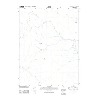
2012 Map of Well Canyon
USGS Topo · Published 2012About this map
Bald Mountain dominates the central landscape of this Nevada survey, serving as a high-altitude anchor for the surrounding Monitor Range. The terrain is defined by a complex drainage system where the N Fork Allison Cr, Middle Fork Allison Cr, and S Fork Allison Cr converge toward the east. These waterways, along with Sullivan Wash and Cedar Cr, trace the natural corridors through the high desert, providing essential water sources in an otherwise arid environment.
Find a feature on this map
20 named features on this map. Tap any name to fly to it.
Don’t see what you’re looking for? This feature index may not catch every label — zoom into the map to look around manually.
Map Details
Editions of this 2012 Well Canyon Map
This is the sole edition of this map. No revisions or reprints were ever made.
Other maps of this area

1926 · Roberts Mountains
USGS Topo · 1:250,000

1929 · Roberts Mountains
USGS Topo · 1:250,000

1955 · Millett
USGS Topo · 1:250,000

1956 · Horse Heaven Mtn
USGS Topo · 1:62,500

1956 · Antelope Peak
USGS Topo · 1:62,500

1959 · Millett
USGS Topo · 1:250,000

1960 · Hickison Summit
USGS Topo · 1:62,500

1960 · Dianas Punch Bowl
USGS Topo · 1:62,500

1978 · Summit Mountain
USGS Topo · 1:100,000
1989 · Ninemile Peak
USGS Topo · 1:24,000