
1961 Map of Wellborn
USGS Topo · Published 1965About this map
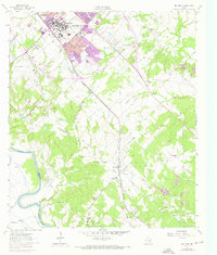
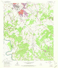
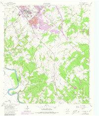
The Texas A & M University campus serves as the northern anchor for this 1961 survey, showing the institution's mid-century footprint alongside College Station and the outskirts of Bryan. The landscape is defined by the Missouri Pacific railroad corridor, which links a series of smaller rural settlements including Wellborn, Royder, and Enright. To the west, the winding Brazos River forms the county line, bordered by bottomlands and the Easterwood Field airport. Cultural landmarks of the era are clearly visible, from the Drive-in Theater and Rodeo Ground near the university to the Salem Ch and College Station Cem that reflect the area's local genealogy. Numerous creek systems like Lick Creek and Peach Creek drain the terrain toward the Brazos, while scattered industrial sites such as a Gravel Pit and Sand Pit point to the local extraction economy during this period of Texas expansion.
Find a feature on this map
43 named features on this map. Tap any name to fly to it.
Don’t see what you’re looking for? This feature index may not catch every label — zoom into the map to look around manually.
Map Details
Editions of this 1961 Wellborn Map
4 editions found
Other maps of this area

1913 · Millican
USGS Topo · 1:31,680

1914 · Gay Hill
USGS Topo · 1:62,500

1914 · Navasota
USGS Topo · 1:62,500

1954 · Austin
USGS Topo · 1:250,000

1956 · Bryan
USGS Topo · 1:62,500

1956 · Carlos
USGS Topo · 1:62,500

1959 · Millican
USGS Topo · 1:24,000

1959 · Clay
USGS Topo · 1:24,000

1959 · Reliance
USGS Topo · 1:24,000

1959 · Ferguson Crossing
USGS Topo · 1:24,000