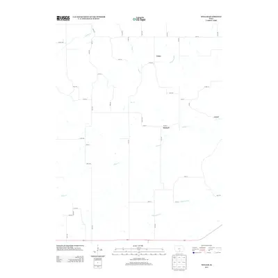
2013 Map of Weller
USGS Topo · Published 2013About this map
Weller and Bucknell anchor this rural landscape in Monroe County, appearing as small agricultural settlements connected by a grid of county roads. The terrain is defined by the drainage patterns of Whites Cr and Sage Cr, which carve through the southern Iowa prairie. The map captures the quiet character of the region, where legacy settlements like Consol remain as points on the map amid expansive farmland. To the north, N Cedar Cr crosses the territory, while the southern reaches are marked by the winding paths of Whippoorwill Cr and its tributary, Whippoorwill Br. This 2013 survey reflects a modern view of the area's geography, preserving the exact placement of local thoroughfares such as Co HWY-h32 and Co HWY-t15 that serve the local farming economy.
Find a feature on this map
42 named features on this map. Tap any name to fly to it.
Don’t see what you’re looking for? This feature index may not catch every label — zoom into the map to look around manually.
Map Details
Editions of this 2013 Weller Map
This is the sole edition of this map. No revisions or reprints were ever made.
Other maps of this area

1924 · Melcher
USGS Topo · 1:62,500

1929 · Albia
USGS Topo · 1:62,500

1935 · Russell
USGS Topo · 1:62,500

1938 · Russell
USGS Topo · 1:62,500

1939 · Mystic
USGS Topo · 1:62,500

1942 · Mystic
USGS Topo · 1:62,500

1954 · Centerville
USGS Topo · 1:250,000

1954 · Des Moines
USGS Topo · 1:250,000

1956 · Des Moines
USGS Topo · 1:250,000

1957 · Des Moines
USGS Topo · 1:250,000