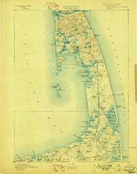
1893 Map of Wellfleet
USGS Topo · Published 1898About this map
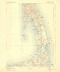
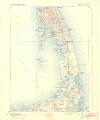
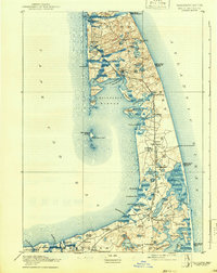
Life saving stations and maritime beacons dominate the outer Cape Cod coastline in this late 19th-century survey. The landscape is defined by the Old Colony Railroad Cape Cod Division, which threads through the centers of Wellfleet, North Eastham, and Orleans. Offshore, the now-submerged Billingsgate Island remains a significant feature, marked by Billingsgate Light, while Mayo's Beach Light guides vessels near the Commercial Wharf.
Find a feature on this map
84 named features on this map. Tap any name to fly to it.
Don’t see what you’re looking for? This feature index may not catch every label — zoom into the map to look around manually.
Map Details
Editions of this 1893 Wellfleet Map
8 editions found
Other maps of this area

1887 · Wellfleet
USGS Topo · 1:62,500

1887 · Yarmouth
USGS Topo · 1:62,500

1887 · Provincetown
USGS Topo · 1:62,500

1888 · Chatham
USGS Topo · 1:62,500

1889 · Yarmouth
USGS Topo · 1:62,500

1889 · Provincetown
USGS Topo · 1:62,500

1889 · Wellfleet
USGS Topo · 1:62,500

1893 · Chatham
USGS Topo · 1:62,500

1893 · Yarmouth
USGS Topo · 1:62,500

1893 · Wellfleet
USGS Topo · 1:62,500