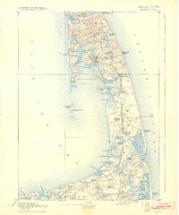
1893 Map of Wellfleet
USGS Topo · Published 1932About this map
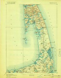
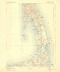
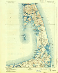
Old Colony Railroad spans the narrow spine of the Outer Cape, connecting a series of maritime settlements from Brewster up through Wellfleet and Truro. This late 19th-century landscape is defined by its precarious relationship with the Atlantic, illustrated by the string of rescue outposts including the Pamet River Life Saving Station and Cahoon Hollow Life Saving Station. The mapping reveals a coastline that has since shifted, most notably at Billingsgate Island and its prominent Billingsgate Light, which stood as a sentinel for Wellfleet Harbor. Inland, the terrain is pocketed with numerous kettle ponds such as Gull Pond and Great Pond, while cultural landmarks like the Methodist Camp Ground near North Eastham show the established summer communities of the era. From the Commercial Wharf to the elevated Mill Hill, the map documents the vital infrastructure of a fishing and seafaring economy before the mid-20th century.
Find a feature on this map
86 named features on this map. Tap any name to fly to it.
Don’t see what you’re looking for? This feature index may not catch every label — zoom into the map to look around manually.
Map Details
Editions of this 1893 Wellfleet Map
8 editions found
Other maps of this area

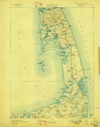
1887 · Wellfleet
USGS Topo · 1:62,500

1887 · Yarmouth
USGS Topo · 1:62,500

1887 · Provincetown
USGS Topo · 1:62,500

1888 · Chatham
USGS Topo · 1:62,500

1889 · Yarmouth
USGS Topo · 1:62,500

1889 · Provincetown
USGS Topo · 1:62,500

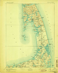
1889 · Wellfleet
USGS Topo · 1:62,500

1893 · Chatham
USGS Topo · 1:62,500

1893 · Yarmouth
USGS Topo · 1:62,500

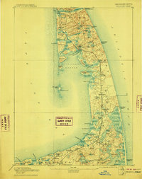
1893 · Wellfleet
USGS Topo · 1:62,500