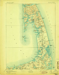
1893 Map of Wellfleet
USGS Topo · Published 1905About this map
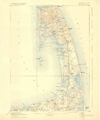
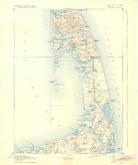
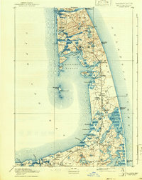
Life-saving stations and lighthouses guard the precarious outer reaches of the Cape during this late nineteenth-century survey. The Old Colony Railroad Cape Cod Division serves as the spine of the peninsula, connecting depots at South Wellfleet, North Eastham, and Orleans. This era shows Wellfleet Harbor as a busy maritime hub centered on Commercial Wharf and Mayo's Beach Light. Notably, Billingsgate Island is still depicted as a prominent landmass with its own Billingsgate Light, providing a record of the shoreline before significant coastal erosion altered the bay. Cultural landmarks like the Methodist Camp Ground and the cluster of Atlantic-facing maritime safety sites, including the Cahoon Hollow Life Saving Station, reflect the dual nature of the Cape as both a spiritual retreat and a treacherous seafaring frontier.
Find a feature on this map
86 named features on this map. Tap any name to fly to it.
Don’t see what you’re looking for? This feature index may not catch every label — zoom into the map to look around manually.
Map Details
Editions of this 1893 Wellfleet Map
8 editions found
Other maps of this area

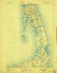
1887 · Wellfleet
USGS Topo · 1:62,500

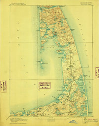
1887 · Yarmouth
USGS Topo · 1:62,500

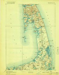
1887 · Provincetown
USGS Topo · 1:62,500

1888 · Chatham
USGS Topo · 1:62,500

1889 · Yarmouth
USGS Topo · 1:62,500

1889 · Provincetown
USGS Topo · 1:62,500

1889 · Wellfleet
USGS Topo · 1:62,500

1893 · Chatham
USGS Topo · 1:62,500

1893 · Yarmouth
USGS Topo · 1:62,500

1893 · Wellfleet
USGS Topo · 1:62,500