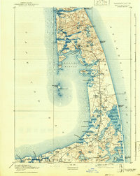
1893 Map of Wellfleet
USGS Topo · Published 1942About this map
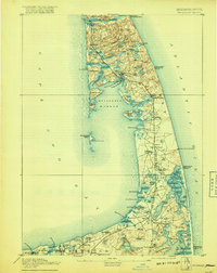
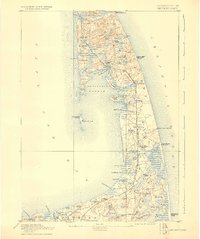
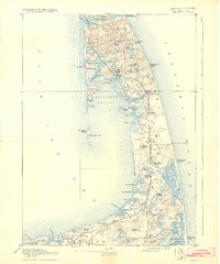
The maritime landscape of the outer Cape is defined here by the thin stretch of land between Cape Cod Bay and the Atlantic Ocean. During this late 19th-century survey, life centered on the sea and the rails, with the Old Colony Railroad Cape Cod Division threading through settlements like Wellfleet and Eastham Centre. The coastline is punctuated by safety infrastructure critical to the era’s shipping, including the Pamet River Life Saving Station and Billingsgate Light. On the western shore, Wellfleet Harbor shows established maritime commerce at the Commercial Wharf and Mayo's Beach Light. The presence of the Methodist Camp Ground near North Eastham highlights the region's cultural gatherings. Inland, the terrain is a complex network of freshwater kettle ponds such as Gull Pond and Bakers Pond, while shifting sands are evidenced by Billingsgate Island, which was still a significant landmass during this period.
Find a feature on this map
85 named features on this map. Tap any name to fly to it.
Don’t see what you’re looking for? This feature index may not catch every label — zoom into the map to look around manually.
Map Details
Editions of this 1893 Wellfleet Map
8 editions found
Other maps of this area

1887 · Wellfleet
USGS Topo · 1:62,500

1887 · Yarmouth
USGS Topo · 1:62,500

1887 · Provincetown
USGS Topo · 1:62,500

1888 · Chatham
USGS Topo · 1:62,500

1889 · Yarmouth
USGS Topo · 1:62,500

1889 · Provincetown
USGS Topo · 1:62,500

1889 · Wellfleet
USGS Topo · 1:62,500

1893 · Chatham
USGS Topo · 1:62,500

1893 · Yarmouth
USGS Topo · 1:62,500

1893 · Wellfleet
USGS Topo · 1:62,500