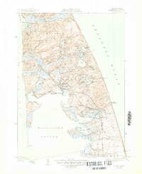
1944 Map of Wellfleet
USGS Topo · Published 1950About this map
Wellfleet and the surrounding coastline of Barnstable County appear in this mid-century survey as a landscape defined by tidal inlets and glacial kettle ponds. The New York New Haven and Hartford RR provides a clear transport spine through the center of the peninsula, connecting Truro Sta to South Wellfleet. Maritime safety and coastal recreation are evident in the presence of the Cahoon Hollow C G Sta on the Atlantic side and the Chequesset Country Club near Mayo Beach. The map details numerous family-named landmarks and historical burial grounds, such as Snow Cem and Pleasant Hill Cem, which offer significant value for genealogical research. Large tracts of coastal terrain like Great Island and Griffin Island remain largely undeveloped, punctuated by features like Duck Harbor and Gull Pond.
Find a feature on this map
72 named features on this map. Tap any name to fly to it.
Don’t see what you’re looking for? This feature index may not catch every label — zoom into the map to look around manually.
Map Details
Editions of this 1944 Wellfleet Map
5 editions found
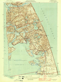
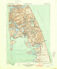
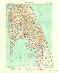
Other maps of this area

1887 · Wellfleet
USGS Topo · 1:62,500

1887 · Provincetown
USGS Topo · 1:62,500

1889 · Provincetown
USGS Topo · 1:62,500

1889 · Wellfleet
USGS Topo · 1:62,500

1893 · Wellfleet
USGS Topo · 1:62,500

1898 · Provincetown
USGS Topo · 1:62,500

1942 · Cape Cod Bay
USGS Topo · 1:125,000

1942 · Nauset
USGS Topo · 1:125,000

1944 · Orleans
USGS Topo · 1:31,680

1944 · Wellfleet
USGS Topo · 1:31,680