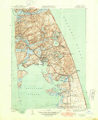
1944 Map of Wellfleet
USGS Topo · Published 1950About this map
The coastal landscapes of Wellfleet and Truro are meticulously documented in this mid-century survey, revealing the complex interplay of glacial kettle ponds and salt marshes that define the Outer Cape. The shoreline is punctuated by notable landmarks such as Mayo Beach and Great Island, while the inland topography is a dense network of freshwater bodies including Gull Pond, Long Pond, and Horseleech Pond. Local transport is anchored by the State Highway and the New York New Haven and Hartford RR, the latter serving the Truro Sta and connecting the small coastal villages.
Find a feature on this map
78 named features on this map. Tap any name to fly to it.
Don’t see what you’re looking for? This feature index may not catch every label — zoom into the map to look around manually.
Map Details
Editions of this 1944 Wellfleet Map
5 editions found
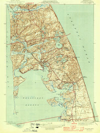
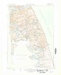
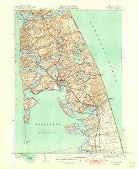
Other maps of this area

1887 · Wellfleet
USGS Topo · 1:62,500

1887 · Provincetown
USGS Topo · 1:62,500

1889 · Provincetown
USGS Topo · 1:62,500

1889 · Wellfleet
USGS Topo · 1:62,500

1893 · Wellfleet
USGS Topo · 1:62,500

1898 · Provincetown
USGS Topo · 1:62,500

1942 · Cape Cod Bay
USGS Topo · 1:125,000

1942 · Nauset
USGS Topo · 1:125,000

1944 · Orleans
USGS Topo · 1:31,680

1944 · Wellfleet
USGS Topo · 1:31,680