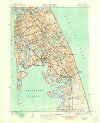
1944 Map of Wellfleet
USGS Topo · Published 1950About this map
Glacial kettle ponds and salt marshes define the outer Cape Cod landscape captured in this mid-century survey. The villages of Wellfleet and South Wellfleet are connected to the mainland by the New York New Haven and Hartford railroad line, which runs parallel to the Mid-Cape Highway. Along the Atlantic coast, the Cahoon Hollow C G Sta stands watch over the shifting dunes of Cahoon Hollow.
Find a feature on this map
78 named features on this map. Tap any name to fly to it.
Don’t see what you’re looking for? This feature index may not catch every label — zoom into the map to look around manually.
Map Details
Editions of this 1944 Wellfleet Map
5 editions found
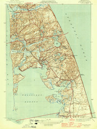
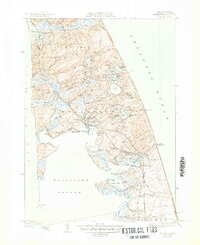
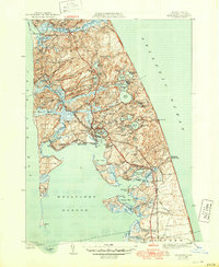
Other maps of this area

1887 · Wellfleet
USGS Topo · 1:62,500

1887 · Provincetown
USGS Topo · 1:62,500

1889 · Provincetown
USGS Topo · 1:62,500

1889 · Wellfleet
USGS Topo · 1:62,500

1893 · Wellfleet
USGS Topo · 1:62,500

1898 · Provincetown
USGS Topo · 1:62,500

1942 · Cape Cod Bay
USGS Topo · 1:125,000

1942 · Nauset
USGS Topo · 1:125,000

1944 · Orleans
USGS Topo · 1:31,680

1944 · Wellfleet
USGS Topo · 1:31,680