
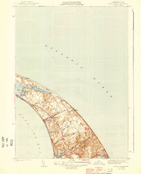
1944 Map of Wellfleet
USGS Topo · Published 1944About this map
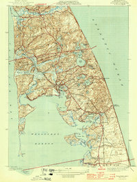
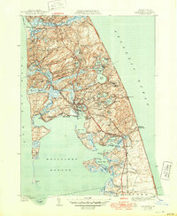
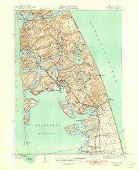
Wellfleet Harbor dominates this mid-century topographic record, revealing a coastal landscape defined by complex tidal estuaries and glaciated kettle ponds. At the height of the war years, the outer Cape shows a mixture of traditional maritime industry and early seaside residency, with clusters of development at Wellfleet and South Wellfleet. The geography is notably fragmented by landforms such as Bound Brook Island and Griffin Island, which were historically more isolated before land-filling and shifting sands altered the marshes.
Find a feature on this map
56 named features on this map. Tap any name to fly to it.
Don’t see what you’re looking for? This feature index may not catch every label — zoom into the map to look around manually.
Map Details
Editions of this 1944 Wellfleet Map
5 editions found
Other maps of this area

1887 · Wellfleet
USGS Topo · 1:62,500

1887 · Provincetown
USGS Topo · 1:62,500

1889 · Provincetown
USGS Topo · 1:62,500

1889 · Wellfleet
USGS Topo · 1:62,500

1893 · Wellfleet
USGS Topo · 1:62,500

1898 · Provincetown
USGS Topo · 1:62,500

1942 · Cape Cod Bay
USGS Topo · 1:125,000

1942 · Nauset
USGS Topo · 1:125,000

1944 · Orleans
USGS Topo · 1:31,680
1944 · North Truro
USGS Topo · 1:31,680