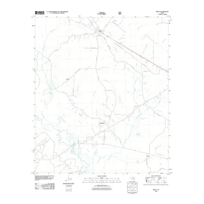
2010 Map of Wells
USGS Topo · Published 2010About this map
Wells and the nearby community of Redtown anchor this East Texas landscape where the sprawling bottomlands of the Neches River meet a dense network of tributaries. The terrain is defined by its waterways, including the winding course of Devils Bayou and the long drainages of Sapulpa Creek and Durham Creek. These streams create a complex drainage pattern that has long influenced local movement and land use in Cherokee County.
Find a feature on this map
43 named features on this map. Tap any name to fly to it.
Don’t see what you’re looking for? This feature index may not catch every label — zoom into the map to look around manually.
Map Details
Editions of this 2010 Wells Map
This is the sole edition of this map. No revisions or reprints were ever made.
Other maps of this area

1946 · Alto
USGS Topo · 1:62,500

1949 · Clawson
USGS Topo · 1:24,000

1949 · Keltys
USGS Topo · 1:24,000

1950 · Keltys
USGS Topo · 1:24,000

1950 · Clawson
USGS Topo · 1:24,000

1950 · Kennard NE
USGS Topo · 1:24,000

1950 · Centralia
USGS Topo · 1:24,000

1951 · Wells
USGS Topo · 1:24,000

1951 · Wells SW
USGS Topo · 1:24,000

1951 · Centralia
USGS Topo · 1:24,000