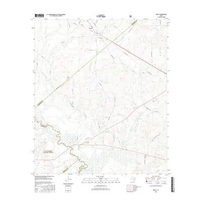
2016 Map of Wells
USGS Topo · Published 2016About this map
The settlement of Wells sits at a crossroads in the northern reaches of this East Texas survey, where the convergence of the Neches River and numerous tributaries like Devils Bayou and Red Bayou defines the landscape. The southern portion of the map is dominated by the dense woodlands of the Davy Crockett National Forest, a terrain marked by an intricate network of creeks including Durham Cr and Sapulpa Cr. The winding course of the Neches River reveals an Old Channel, suggesting the shifting nature of this riparian environment over time.
Find a feature on this map
72 named features on this map. Tap any name to fly to it.
Don’t see what you’re looking for? This feature index may not catch every label — zoom into the map to look around manually.
Map Details
Editions of this 2016 Wells Map
This is the sole edition of this map. No revisions or reprints were ever made.
Other maps of this area
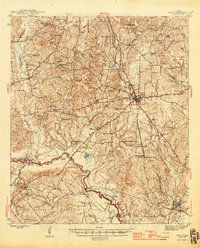
1946 · Alto
USGS Topo · 1:62,500
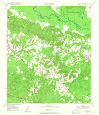
1949 · Clawson
USGS Topo · 1:24,000
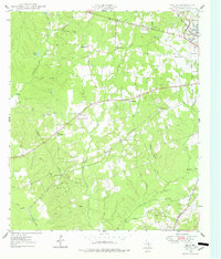
1949 · Keltys
USGS Topo · 1:24,000
1950 · Keltys
USGS Topo · 1:24,000
1950 · Clawson
USGS Topo · 1:24,000
1950 · Kennard NE
USGS Topo · 1:24,000
1950 · Centralia
USGS Topo · 1:24,000
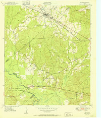
1951 · Wells
USGS Topo · 1:24,000
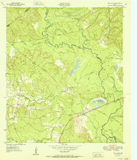
1951 · Wells SW
USGS Topo · 1:24,000
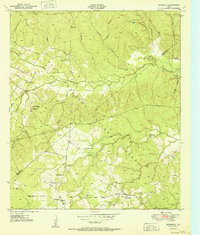
1951 · Centralia
USGS Topo · 1:24,000