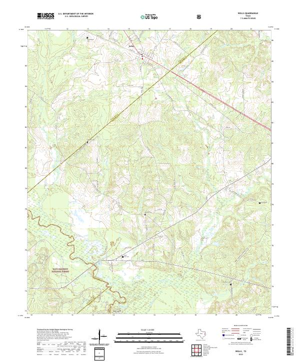
2022 Map of Wells
USGS Topo · Published 2022About this map
Wells serves as the primary hub in this East Texas landscape, where the A & N RR and US Hwy 69 intersect at the northern edge of the Davy Crockett National Forest. The map documents a dense network of country cemeteries and rural roads that reflect generations of local settlement, including Simpson Cem, Durham Cem, and Holsomback Cem. To the south, the terrain descends toward the Neches River, which forms a complex boundary near Pine Island. Numerous small tributaries like Sapulpa Cr and Red Bayou drain the undulating woodlands. Local institutions such as Wells Sch and the Pine Island Ch are situated along the forest's edge, anchoring the small communities that thrive near the border of Cherokee, Angelina, and Houston counties.
Find a feature on this map
82 named features on this map. Tap any name to fly to it.
Don’t see what you’re looking for? This feature index may not catch every label — zoom into the map to look around manually.
Map Details
Editions of this 2022 Wells Map
This is the sole edition of this map. No revisions or reprints were ever made.
Other maps of this area

1946 · Alto
USGS Topo · 1:62,500

1949 · Clawson
USGS Topo · 1:24,000

1949 · Keltys
USGS Topo · 1:24,000

1950 · Keltys
USGS Topo · 1:24,000

1950 · Clawson
USGS Topo · 1:24,000

1950 · Kennard NE
USGS Topo · 1:24,000

1950 · Centralia
USGS Topo · 1:24,000

1951 · Wells
USGS Topo · 1:24,000

1951 · Wells SW
USGS Topo · 1:24,000

1951 · Centralia
USGS Topo · 1:24,000