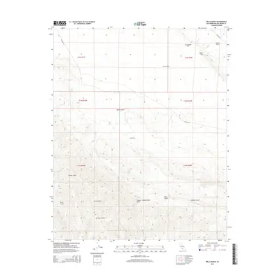
2015 Map of Wells Ranch
USGS Topo · Published 2015About this map
The San Andreas Fault cuts a definitive line across this segment of San Luis Obispo County, creating the striking geological boundary between the Carrizo Plain and the Elkhorn Scarp. This landscape is defined by its tectonic history and the arid basins of the Elkhorn Plain, where drainage is captured by seasonal flows in Abbott Canyon and Sulphur Canyon. The rugged terrain of the Caliente Range dominates the southern half of the map, rising sharply above the desert floor.
Find a feature on this map
24 named features on this map. Tap any name to fly to it.
Don’t see what you’re looking for? This feature index may not catch every label — zoom into the map to look around manually.
Map Details
Editions of this 2015 Wells Ranch Map
This is the sole edition of this map. No revisions or reprints were ever made.
Other maps of this area

1902 · Santa Ynez
USGS Topo · 1:125,000

1905 · Santa Ynez
USGS Topo · 1:125,000

1912 · McKittrick
USGS Topo · 1:125,000

1941 · Caliente Mountain
USGS Topo · 1:62,500

1941 · McPherson Peak
USGS Topo · 1:62,500

1942 · Caliente Mtn
USGS Topo · 1:62,500

1942 · East of Cuyama Ranch
USGS Topo · 1:24,000

1943 · McPherson Peak
USGS Topo · 1:62,500

1943 · Caliente Mtn.
USGS Topo · 1:62,500

1943 · Cuyama Ranch
USGS Topo · 1:31,680