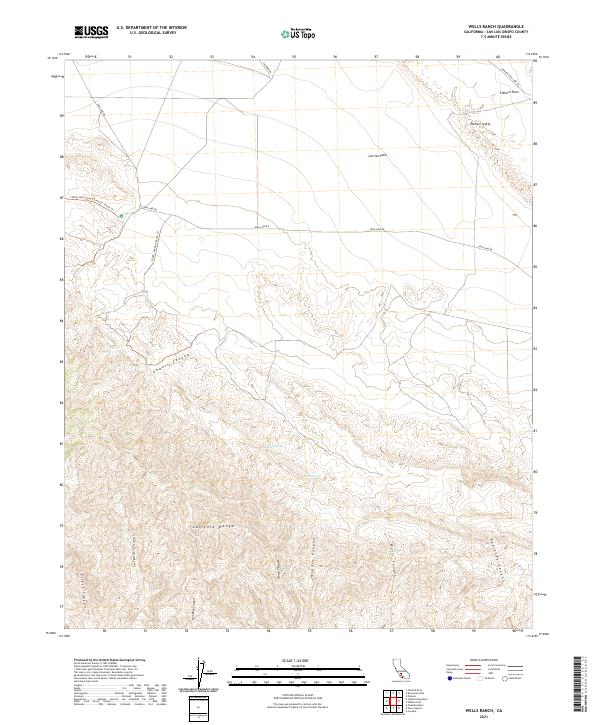
2021 Map of Wells Ranch
USGS Topo · Published 2021About this map
The Caliente Range dominates the southern portion of this landscape, characterized by a series of steep drainages including Wells Canyon, Bee Rock Canyon, and Padrones Canyon. To the north, the terrain transitions into the iconic Carrizo Plain and Elkhorn Plain, separated by the distinct tectonic feature of the Elkhorn Scarp. This 2021 survey reveals a landscape primarily defined by ranching history and geographic isolation, as evidenced by the presence of cattle-related infrastructure like the 16041: Seaback Ranch Trl and the 16039: Kern County Land Co. Ranch Trl. Vital water sources such as Wells Spring and Semper Spring provide insight into the tenuous survival of livestock and wildlife in this arid corner of San Luis Obispo County.
Find a feature on this map
25 named features on this map. Tap any name to fly to it.
Don’t see what you’re looking for? This feature index may not catch every label — zoom into the map to look around manually.
Map Details
Editions of this 2021 Wells Ranch Map
This is the sole edition of this map. No revisions or reprints were ever made.
Other maps of this area

1902 · Santa Ynez
USGS Topo · 1:125,000

1905 · Santa Ynez
USGS Topo · 1:125,000

1912 · McKittrick
USGS Topo · 1:125,000

1941 · Caliente Mountain
USGS Topo · 1:62,500

1941 · McPherson Peak
USGS Topo · 1:62,500

1942 · Caliente Mtn
USGS Topo · 1:62,500

1942 · East of Cuyama Ranch
USGS Topo · 1:24,000

1943 · McPherson Peak
USGS Topo · 1:62,500

1943 · Caliente Mtn.
USGS Topo · 1:62,500

1943 · Cuyama Ranch
USGS Topo · 1:31,680