
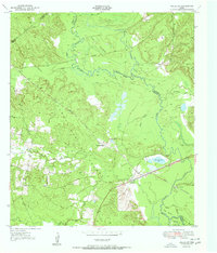
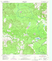
1951 Map of Wells SW
USGS Topo · Published 1951About this map
Davy Crockett National Forest dominates this East Texas landscape, where the dense timberlands of Trinity and Angelina counties meet. The topography reveals a history shaped by the timber industry, marked by the winding routes of an Old Logging Railroad Grade and an Old Railroad Grade that once hauled pine and hardwood from the river bottoms. Small social and recreational outposts like the Pine Island Club, Neches Club, and Eason Lake Club appear along the waterways, suggesting a local culture centered on the seasonal rhythms of the river. The Neches River forms a complex boundary of oxbows and sloughs, including Big Bend Slough and Viney Bend. Near the center of the survey, Raville Siding and the New Church serve as solitary landmarks within the wooded terrain, providing valuable touchstones for researchers tracing mid-century rural settlement patterns in the Deep East Texas piney woods.
Find a feature on this map
30 named features on this map. Tap any name to fly to it.
Don’t see what you’re looking for? This feature index may not catch every label — zoom into the map to look around manually.
Map Details
Editions of this 1951 Wells SW Map
Other maps of this area

1949 · Clawson
USGS Topo · 1:24,000

1949 · Keltys
USGS Topo · 1:24,000

1950 · Keltys
USGS Topo · 1:24,000

1950 · Clawson
USGS Topo · 1:24,000

1950 · Kennard NE
USGS Topo · 1:24,000

1950 · Centralia
USGS Topo · 1:24,000

1951 · Wells
USGS Topo · 1:24,000

1951 · Centralia
USGS Topo · 1:24,000

1951 · Kennard NE
USGS Topo · 1:24,000

1953 · Palestine
USGS Topo · 1:250,000