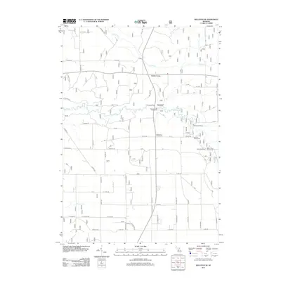
2012 Map of Wellston NE
USGS Topo · Published 2012About this map
The Pine River carves a winding path through this portion of Manistee County, serving as the central corridor for recreation and local geography in the early 21st century. The map documents a landscape heavily defined by its waterways and the infrastructure supporting them, including the High School Bridge and Hoxeyville Bridge. Access to the river is highlighted by sites like the Peterson Bridge Canoe Access and Dobson Bridge Canoe Access, reflecting the area's importance for paddle sports.
Find a feature on this map
66 named features on this map. Tap any name to fly to it.
Don’t see what you’re looking for? This feature index may not catch every label — zoom into the map to look around manually.
Map Details
Editions of this 2012 Wellston NE Map
This is the sole edition of this map. No revisions or reprints were ever made.
Other maps of this area

1933 · Peacock SE
USGS Topo · 1:31,680

1933 · Peacock SW
USGS Topo · 1:31,680

1933 · Peacock NE
USGS Topo · 1:31,680

1933 · Luther SW
USGS Topo · 1:31,680

1933 · Luther NW
USGS Topo · 1:31,680

1933 · Peacock NW
USGS Topo · 1:31,680

1954 · Traverse City
USGS Topo · 1:250,000

1956 · Mesick
USGS Topo · 1:62,500

1957 · Copemish
USGS Topo · 1:62,500

1957 · Luther
USGS Topo · 1:62,500
Featured Places
- Norman Township, MI
- Eden Township, MI
- South Branch Township, MI
- Garletts Corner, MI
- Newkirk Township, MI