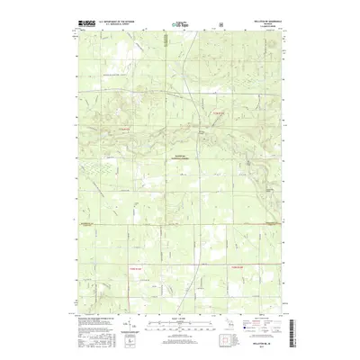
2017 Map of Wellston NE
USGS Topo · Published 2017About this map
Manistee National Forest covers much of this landscape at the intersection of Manistee, Wexford, and Lake counties. The Pine River meanders across the central terrain, crossed by several notable spans including Peterson Bridge and the High School Bridge. These crossings, along with Hoxeyville Bridge further south, highlight the importance of the river for local transit and recreational access within the protected forest lands. The map details a network of forest roads and trails, such as Peterson Trl and Newaygo-Wellston SMT DNR3, that navigate the wetland areas around Wildcat Swamp and the drainage of Peterson Cr. Genealogists may find interest in the Chalker Cem located along Chalker Rd, providing a specific point of reference for family history research in this wooded region.
Find a feature on this map
61 named features on this map. Tap any name to fly to it.
Don’t see what you’re looking for? This feature index may not catch every label — zoom into the map to look around manually.
Map Details
Editions of this 2017 Wellston NE Map
This is the sole edition of this map. No revisions or reprints were ever made.
Other maps of this area

1933 · Peacock SE
USGS Topo · 1:31,680

1933 · Peacock SW
USGS Topo · 1:31,680

1933 · Peacock NE
USGS Topo · 1:31,680

1933 · Luther SW
USGS Topo · 1:31,680

1933 · Luther NW
USGS Topo · 1:31,680

1933 · Peacock NW
USGS Topo · 1:31,680

1954 · Traverse City
USGS Topo · 1:250,000

1956 · Mesick
USGS Topo · 1:62,500

1957 · Copemish
USGS Topo · 1:62,500

1957 · Luther
USGS Topo · 1:62,500
Featured Places
- Norman Township, MI
- Eden Township, MI
- South Branch Township, MI
- Garletts Corner, MI
- Newkirk Township, MI