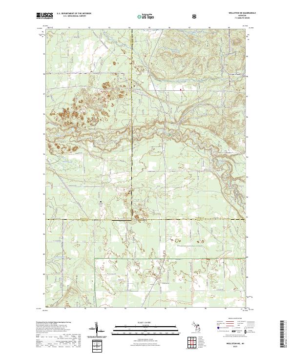
2023 Map of Wellston NE
USGS Topo · Published 2023About this map
The Pine Wild and Scenic River carves a winding path through the heart of the Manistee National Forest, defining the landscape of this section where Manistee, Wexford, and Lake counties meet. This 2023 survey illustrates a region dominated by protected woodlands and riparian corridors, where the river's high conservation status is reflected in the lack of dense development along its banks. A network of forest roads and trails, such as the Newaygo-Wellston Smt Dnr3 Trl, suggests a modern landscape primarily utilized for timber management and outdoor recreation. Local genealogy and settlement history are grounded at the Chalker Family Cem near Chalker Rd, one of the few named landmarks indicating historical homesteads in the area. Drainage patterns are complex, with the Wildcat Swamp feeding into larger systems including Stronach Creek and Peterson Creek.
Find a feature on this map
85 named features on this map. Tap any name to fly to it.
Don’t see what you’re looking for? This feature index may not catch every label — zoom into the map to look around manually.
Map Details
Editions of this 2023 Wellston NE Map
This is the sole edition of this map. No revisions or reprints were ever made.
Other maps of this area

1933 · Peacock SE
USGS Topo · 1:31,680

1933 · Peacock SW
USGS Topo · 1:31,680

1933 · Peacock NE
USGS Topo · 1:31,680

1933 · Luther SW
USGS Topo · 1:31,680

1933 · Luther NW
USGS Topo · 1:31,680

1933 · Peacock NW
USGS Topo · 1:31,680

1954 · Traverse City
USGS Topo · 1:250,000

1956 · Mesick
USGS Topo · 1:62,500

1957 · Copemish
USGS Topo · 1:62,500

1957 · Luther
USGS Topo · 1:62,500
Featured Places
- Norman Township, MI
- Eden Township, MI
- South Branch Township, MI
- Garletts Corner, MI
- Newkirk Township, MI