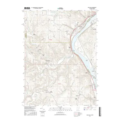
2016 Map of Wellsville
USGS Topo · Published 2016About this map
The Ohio River forms a major industrial and geographic corridor along the eastern edge of this landscape, marking the boundary between Ohio and West Virginia. Settlement patterns follow the river's bend and the deeply incised valleys of its tributaries, such as Yellow Creek. Industrial towns like Wellsville and Stratton are positioned along the riverbank, while smaller interior settlements like Hammondsville and Irondale occupy the narrow bottoms of the North Fork Yellow Creek.
Find a feature on this map
134 named features on this map. Tap any name to fly to it.
Don’t see what you’re looking for? This feature index may not catch every label — zoom into the map to look around manually.
Map Details
Editions of this 2016 Wellsville Map
This is the sole edition of this map. No revisions or reprints were ever made.
Other maps of this area

1901 · Cadiz
USGS Topo · 1:62,500

1903 · Cadiz
USGS Topo · 1:62,500

1904 · Wellsville
USGS Topo · 1:62,500

1904 · Steubenville
USGS Topo · 1:62,500

1905 · Salineville
USGS Topo · 1:62,500

1935 · Steubenville
USGS Topo · 1:62,500

1937 · Wellsville
USGS Topo · 1:62,500

1942 · Steubenville
USGS Topo · 1:62,500

1944 · Wellsville
USGS Topo · 1:62,500

1951 · Canton
USGS Topo · 1:250,000