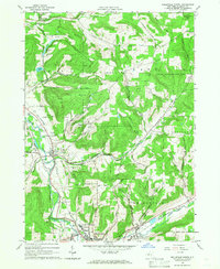
1965 Map of Wellsville North
USGS Topo · Published 1966About this map
The Genesee River carves a deep valley through Allegany County, anchoring the settlements of Scio and the northern edge of Wellsville. During the mid-1960s, this corridor was a hub of transit and industry, defined by the Erie Lackawanna railroad tracks and a network of energy infrastructure including numerous oil wells and a prominent pipeline crossing the northern hills. The landscape is a mix of active agriculture and protected land, with a large State Reforestation Area spanning the eastern ridges.
Find a feature on this map
71 named features on this map. Tap any name to fly to it.
Don’t see what you’re looking for? This feature index may not catch every label — zoom into the map to look around manually.
Map Details
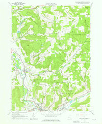
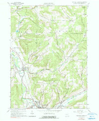
Editions of this 1965 Wellsville North Map
3 editions found
Other maps of this area

1906 · Angelica
USGS Topo · 1:62,500

1916 · Canaseraga
USGS Topo · 1:62,500

1925 · Belmont
USGS Topo · 1:62,500

1926 · Wellsville
USGS Topo · 1:62,500

1939 · Belmont
USGS Topo · 1:62,500

1940 · Canaseraga
USGS Topo · 1:62,500

1941 · Angelica
USGS Topo · 1:62,500

1950 · Elmira
USGS Topo · 1:250,000

1958 · Elmira
USGS Topo · 1:250,000

1960 · Buffalo
USGS Topo · 1:250,000