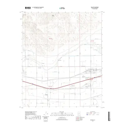
2018 Map of Wellton
USGS Topo · Published 2018About this map
Wellton serves as the central hub of this desert landscape, situated where the broad Mohawk Valley and Dome Valley meet. The northern portion of the map is dominated by the jagged relief of the Muggins Mountains, including the prominent Muggins Peak and the drainage of Morgan Wash. This area showcases the stark transition from the high, arid peaks to the fertile agricultural lands fed by the Gila River.
Find a feature on this map
61 named features on this map. Tap any name to fly to it.
Don’t see what you’re looking for? This feature index may not catch every label — zoom into the map to look around manually.
Map Details
Editions of this 2018 Wellton Map
This is the sole edition of this map. No revisions or reprints were ever made.
Other maps of this area

1926 · Fortuna
USGS Topo · 1:62,500

1926 · Wellton
USGS Topo · 1:62,500

1929 · Fortuna
USGS Topo · 1:62,500

1929 · Laguna
USGS Topo · 1:62,500

1929 · Wellton
USGS Topo · 1:62,500

1942 · Yuma
USGS Topo · 1:250,000

1943 · Laguna
USGS Topo · 1:62,500

1954 · El Centro
USGS Topo · 1:250,000

1955 · El Centro
USGS Topo · 1:250,000
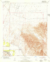
1955 · Dome
USGS Topo · 1:24,000