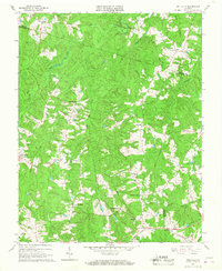
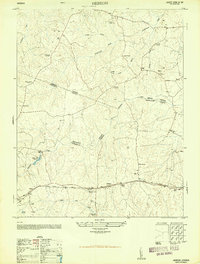
1966 Map of Wellville
USGS Topo · Published 1967About this map
Simonsons Store and Clays Corner anchor the rural landscape of Nottoway County during the mid-1960s, a period when small crossroads commerce remained a central feature of the Virginia countryside. The southern edge of the map is defined by the Norfolk and Western rail line, which passes through Wellville, connecting this agricultural region to larger markets. Numerous small family-owned landmarks like Pattersons Store, Colemans Store, and Hawkes Store suggest a decentralized community structure where local life revolved around these specific points of trade.
Find a feature on this map
31 named features on this map. Tap any name to fly to it.
Don’t see what you’re looking for? This feature index may not catch every label — zoom into the map to look around manually.
Map Details
Editions of this 1966 Wellville Map
Other maps of this area

1891 · Farmville
USGS Topo · 1:125,000

1893 · Farmville
USGS Topo · 1:125,000

1897 · Amelia
USGS Topo · 1:125,000

1943 · Amelia
USGS Topo · 1:31,680

1943 · Goodes Bridge
USGS Topo · 1:31,680

1943 · Richmond
USGS Topo · 1:250,000

1947 · Roanoke
USGS Topo · 1:250,000

1949 · Richmond
USGS Topo · 1:250,000
1950 · Wellville
USGS Topo · 1:24,000
1950 · Hebron
USGS Topo · 1:24,000