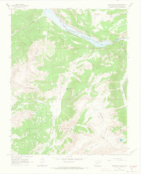
1964 Map of Weminuche Pass
USGS Topo · Published 1967About this map
The Continental Divide dictates the flow of water and human movement across this high-country landscape, where the Rio Grande headwaters meet the rugged San Juan range. In the northern reaches, the Rio Grande Reservoir is a dominant landmark, with its spillway and nearby Thirtymile Campground serving as hubs for activity near the Gaging Sta. The map documents a transition between the Rio Grande National Forest and the San Juan National Forest, bridged by the historically significant Weminuche Pass. Evidence of high-altitude transit and livestock management is visible through the Squaw Stock Driveway and several pack trails. Traces of early infrastructure appear at the Stage Station and nearby Ruins, while the Raber Lohr Ditch and Fuchs Ditch indicate localized efforts to manage water resources for downstream use.
Find a feature on this map
35 named features on this map. Tap any name to fly to it.
Don’t see what you’re looking for? This feature index may not catch every label — zoom into the map to look around manually.
Map Details
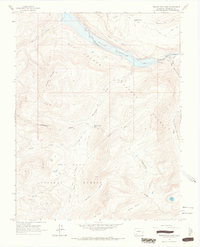
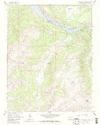
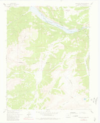
Editions of this 1964 Weminuche Pass Map
4 editions found
Other maps of this area

1905 · San Cristobal
USGS Topo · 1:125,000

1907 · San Cristobal
USGS Topo · 1:125,000

1945 · Durango
USGS Topo · 1:250,000

1953 · Durango
USGS Topo · 1:250,000

1954 · Durango
USGS Topo · 1:250,000

1959 · Bristol Head
USGS Topo · 1:62,500

1961 · Durango
USGS Topo · 1:250,000

1963 · Durango
USGS Topo · 1:250,000
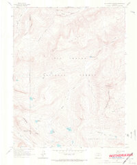
1964 · Rio Grande Pyramid
USGS Topo · 1:24,000
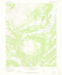
1964 · Finger Mesa
USGS Topo · 1:24,000