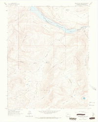
1964 Map of Weminuche Pass
USGS Topo · Published 1967About this map
The Continental Divide defines the spine of this mid-1960s survey, marking the high-altitude boundary between the San Juan National Forest and the upper reaches of the Rio Grande drainage. This high-country landscape is characterized by the massive Rio Grande Reservoir, where a spillway regulates the water levels near the Thirtymile Campground. Historic movement through these passes is evident in the Ruins at Stage Station Flat and the presence of the Lohr Ditch and Fuchs Ditch, which redirect high-mountain runoff. From the peaks of Simpson Mountain to the depths of Snowslide Canyon, the map traces a network of pack trails and stock driveways used for seasonal grazing in areas like Horse Thief Pasture. This document captures the wilderness character of the San Juan Mountains before later developments altered the backcountry access routes.
Find a feature on this map
32 named features on this map. Tap any name to fly to it.
Don’t see what you’re looking for? This feature index may not catch every label — zoom into the map to look around manually.
Map Details
Editions of this 1964 Weminuche Pass Map
4 editions found
Other maps of this area

1905 · San Cristobal
USGS Topo · 1:125,000

1907 · San Cristobal
USGS Topo · 1:125,000

1945 · Durango
USGS Topo · 1:250,000

1953 · Durango
USGS Topo · 1:250,000

1954 · Durango
USGS Topo · 1:250,000

1959 · Bristol Head
USGS Topo · 1:62,500

1961 · Durango
USGS Topo · 1:250,000

1963 · Durango
USGS Topo · 1:250,000
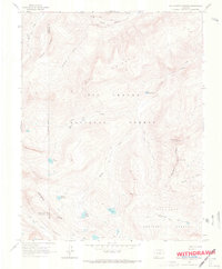
1964 · Rio Grande Pyramid
USGS Topo · 1:24,000
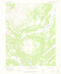
1964 · Finger Mesa
USGS Topo · 1:24,000