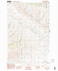
1985 Map of Wenas Lake
USGS Topo · Published 1985About this map
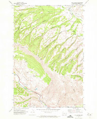
The Wenas Valley landscape in 1985 is defined by its deep canyons and protected wildlife areas spanning the Yakima and Kittitas county line. Wenas Creek flows through the center of the sheet, feeding into Wenas Lake, a focal point for the region's geography. The surrounding terrain is dominated by the ridges of Cleman Mountain and Umtanum Ridge, which enclose a network of named drainages including Horse Trough Canyon, Lady Bug Canyon, and Hardy Canyon.
Find a feature on this map
28 named features on this map. Tap any name to fly to it.
Don’t see what you’re looking for? This feature index may not catch every label — zoom into the map to look around manually.
Map Details
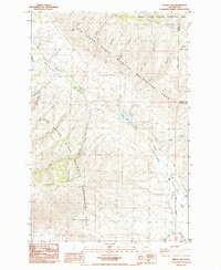
Editions of this 1985 Wenas Lake Map
2 editions found
Other maps of this area

1899 · Ellensburg
USGS Topo · 1:125,000

1901 · Ellensburg
USGS Topo · 1:125,000

1950 · Yakima
USGS Topo · 1:250,000
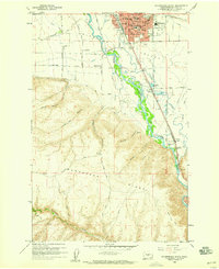
1958 · Ellensburg South
USGS Topo · 1:24,000

1958 · Ellensburg
USGS Topo · 1:62,500
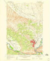
1958 · Selah
USGS Topo · 1:24,000

1958 · Naches
USGS Topo · 1:24,000

1958 · Yakima
USGS Topo · 1:250,000

1961 · Yakima
USGS Topo · 1:250,000
1971 · Milk Canyon
USGS Topo · 1:24,000