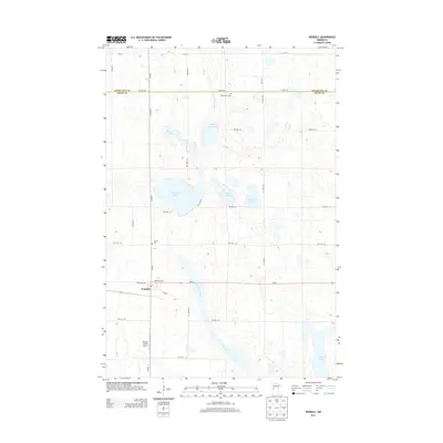
2013 Map of Wendell
USGS Topo · Published 2013About this map
The settlement of Wendell serves as the focal point of this Grant County landscape, situated along the crossroads of MN-55 and Main St. The surrounding prairie is defined by a dense network of township roads and a striking collection of glacial lakes, including the large Stony Brook Lake and Lightning Lake. The Mustinka River cuts a wide, marshy path through the center of the sheet, reflecting the hydrologic character of the Red River Valley region.
Find a feature on this map
28 named features on this map. Tap any name to fly to it.
Don’t see what you’re looking for? This feature index may not catch every label — zoom into the map to look around manually.
Map Details
Editions of this 2013 Wendell Map
This is the sole edition of this map. No revisions or reprints were ever made.
Other maps of this area

1910 · Wendell
USGS Topo · 1:62,500

1911 · Barrett
USGS Topo · 1:62,500

1911 · Herman
USGS Topo · 1:62,500

1913 · Ashby
USGS Topo · 1:62,500

1913 · Wendell
USGS Topo · 1:62,500

1953 · Milbank
USGS Topo · 1:250,000

1953 · Fargo
USGS Topo · 1:250,000

1953 · Brainerd
USGS Topo · 1:250,000

1953 · Saint Cloud
USGS Topo · 1:250,000

1956 · Fargo
USGS Topo · 1:250,000