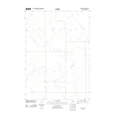
2012 Map of Wendte SE
USGS Topo · Published 2012About this map
Herd Camp Cr meanders across this rural landscape in Jones County, defining the drainage patterns of a region primarily characterized by its sparse water sources and rolling plains. This 2012 survey highlights the essential transport network of the area, anchored by Lincoln Rd and Co Road N 13. The mapping of the W Br War Cr provides a clear view of the intermittent water bodies and ephemeral streams that are critical to understanding the local geography. This high-resolution USGS study focuses on the topographical details of the Wendte SE quadrangle, offering researchers a precise record of the land's elevation and hydraulic features just after the first decade of the millennium.
Find a feature on this map
6 named features on this map. Tap any name to fly to it.
Don’t see what you’re looking for? This feature index may not catch every label — zoom into the map to look around manually.
Map Details
Editions of this 2012 Wendte SE Map
This is the sole edition of this map. No revisions or reprints were ever made.
Other maps of this area

1953 · Wendte
USGS Topo · 1:24,000

1953 · Wendte NE
USGS Topo · 1:24,000

1953 · Pierre 3 NW
USGS Topo · 1:24,000

1954 · Pierre
USGS Topo · 1:250,000

1955 · Martin
USGS Topo · 1:250,000

1958 · Pierre
USGS Topo · 1:250,000

1958 · Martin
USGS Topo · 1:250,000

1972 · Pierre 3 SW
USGS Topo · 1:24,000

1972 · Draper
USGS Topo · 1:24,000

1972 · Murdo
USGS Topo · 1:24,000