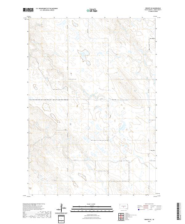
2021 Map of Wendte SE
USGS Topo · Published 2021About this map
The prairie landscape of Jones County is defined by its sectional grid and the subtle drainages that feed the Bad River watershed. Herd Camp Creek (also labeled Herd Camp Cr) meanders through the central and western reaches, while the W Br War Cr occupies the northeast corner of the quadrangle. The map captures a moment in the early 21st century where the landscape remains sparsely settled, primarily organized around the Public Land Survey System. The infrastructure is dominated by a systematic network of section-line roads, including Cemetery Rd, Lincoln Rd, and 230th St, which serve the agricultural allotments across Townships 1 and 2 North. The presence of named county roads and avenues suggests a region of enduring ranching or farming tracts, where local travel relies on a strictly rectilinear path across the High Plains terrain.
Find a feature on this map
16 named features on this map. Tap any name to fly to it.
Don’t see what you’re looking for? This feature index may not catch every label — zoom into the map to look around manually.
Map Details
Editions of this 2021 Wendte SE Map
This is the sole edition of this map. No revisions or reprints were ever made.
Other maps of this area

1953 · Wendte
USGS Topo · 1:24,000

1953 · Wendte NE
USGS Topo · 1:24,000

1953 · Pierre 3 NW
USGS Topo · 1:24,000

1954 · Pierre
USGS Topo · 1:250,000

1955 · Martin
USGS Topo · 1:250,000

1958 · Pierre
USGS Topo · 1:250,000

1958 · Martin
USGS Topo · 1:250,000

1972 · Pierre 3 SW
USGS Topo · 1:24,000

1972 · Draper
USGS Topo · 1:24,000

1972 · Murdo
USGS Topo · 1:24,000