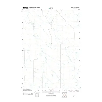
2012 Map of Wendte SW
USGS Topo · Published 2012About this map
The prairie landscape of Jones County is defined by the complex drainage systems of White Clay Cr and the E Br White Clay Cr. This 2012 survey illustrates the hydrological network of the region, showing how these waterways wind through the open terrain alongside Herd Camp Cr in the northeast. Human presence is sparse, represented primarily by the north-south transit of Co Rd-N11. The map captures a moment of modern rural infrastructure, where local county roads provide the few reliable paths across a territory dominated by natural stream channels and seasonal drainage patterns typical of the South Dakota plains.
Find a feature on this map
4 named features on this map. Tap any name to fly to it.
Don’t see what you’re looking for? This feature index may not catch every label — zoom into the map to look around manually.
Map Details
Editions of this 2012 Wendte SW Map
This is the sole edition of this map. No revisions or reprints were ever made.
Other maps of this area

1951 · Van Metre
USGS Topo · 1:24,000

1951 · Capa SE
USGS Topo · 1:24,000

1953 · Wendte
USGS Topo · 1:24,000

1953 · Wendte NE
USGS Topo · 1:24,000

1954 · Pierre
USGS Topo · 1:250,000

1955 · Martin
USGS Topo · 1:250,000

1958 · Pierre
USGS Topo · 1:250,000

1958 · Martin
USGS Topo · 1:250,000

1972 · Draper
USGS Topo · 1:24,000

1972 · Murdo
USGS Topo · 1:24,000