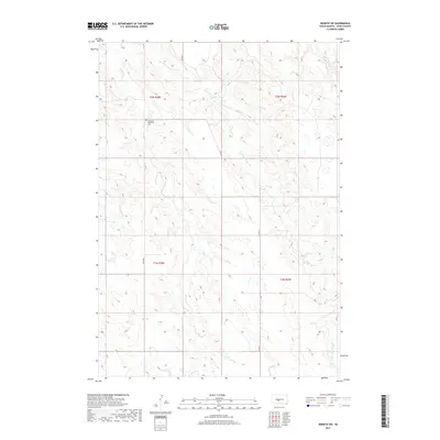
2017 Map of Wendte SW
USGS Topo · Published 2017About this map
Immanuel Lutheran Cem stands as a focal point of historical significance in this portion of Jones County, marking a site of local genealogy and community heritage. The landscape is defined by the branching drainage of White Clay Cr, which is joined by the E Br White Clay Cr and Herd Camp Cr as they cut through the terrain. The map reflects a section of South Dakota characterized by its section lines and agricultural layout, with primary transit provided by 270th Ave and Co Rd N11. This 2017 survey details the township boundaries of t2n r28e, t2n r29e, t1n r28e, and t1n r29e, showing the intersection of survey lines and natural watercourses that have long dictated the movement and settlement patterns of this plains region.
Find a feature on this map
11 named features on this map. Tap any name to fly to it.
Don’t see what you’re looking for? This feature index may not catch every label — zoom into the map to look around manually.
Map Details
Editions of this 2017 Wendte SW Map
This is the sole edition of this map. No revisions or reprints were ever made.
Other maps of this area

1951 · Van Metre
USGS Topo · 1:24,000

1951 · Capa SE
USGS Topo · 1:24,000

1953 · Wendte
USGS Topo · 1:24,000

1953 · Wendte NE
USGS Topo · 1:24,000

1954 · Pierre
USGS Topo · 1:250,000

1955 · Martin
USGS Topo · 1:250,000

1958 · Pierre
USGS Topo · 1:250,000

1958 · Martin
USGS Topo · 1:250,000

1972 · Draper
USGS Topo · 1:24,000

1972 · Murdo
USGS Topo · 1:24,000