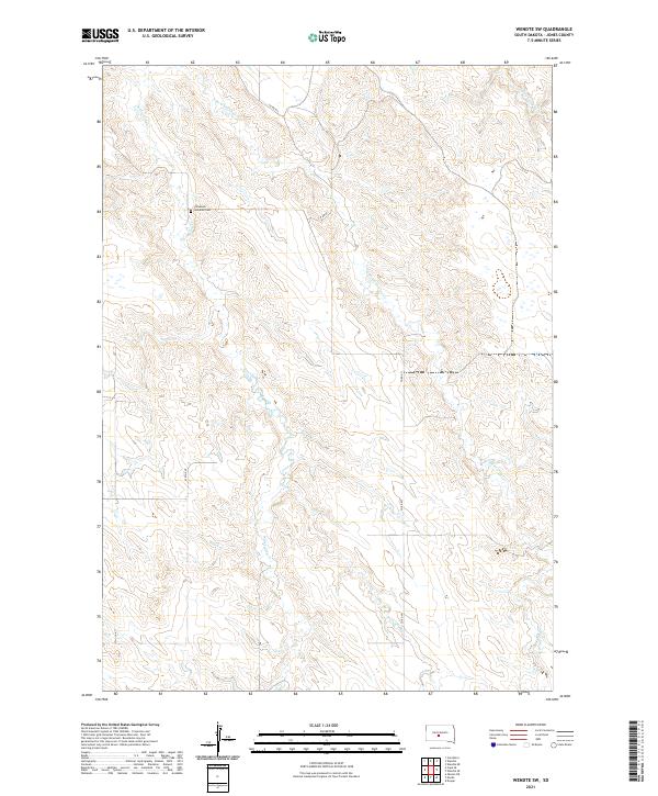
2021 Map of Wendte SW
USGS Topo · Published 2021About this map
White Clay Cr and its tributaries, including E Br White Clay Cr and Herd Camp Cr, define the drainage patterns of this rural Jones County landscape. The terrain is marked by the organized grid of the Public Land Survey System, with township lines for t2n r28e, t2n r29e, t1n r28e, and t1n r29e intersecting within these sections. A singular focal point for local history is the Immanuel Lutheran Cem, located along White Clay Cr and accessible via the section line roads. The map reveals a sparsely populated ranching or farming region where infrastructure is limited to established routes like Co Rd N11 and 270th Ave. This detail allows for the precise location of ancestral land holdings and the geographic context of early 21st-century rural life in South Dakota.
Find a feature on this map
11 named features on this map. Tap any name to fly to it.
Don’t see what you’re looking for? This feature index may not catch every label — zoom into the map to look around manually.
Map Details
Editions of this 2021 Wendte SW Map
This is the sole edition of this map. No revisions or reprints were ever made.
Other maps of this area

1951 · Van Metre
USGS Topo · 1:24,000

1951 · Capa SE
USGS Topo · 1:24,000

1953 · Wendte
USGS Topo · 1:24,000

1953 · Wendte NE
USGS Topo · 1:24,000

1954 · Pierre
USGS Topo · 1:250,000

1955 · Martin
USGS Topo · 1:250,000

1958 · Pierre
USGS Topo · 1:250,000

1958 · Martin
USGS Topo · 1:250,000

1972 · Draper
USGS Topo · 1:24,000

1972 · Murdo
USGS Topo · 1:24,000