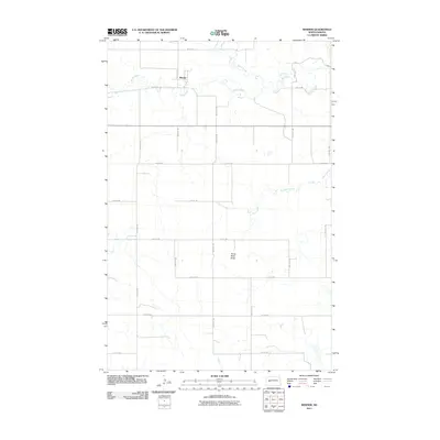
2011 Map of Werner
USGS Topo · Published 2011About this map
Werner is the central point of interest in this rural landscape of the Missouri Plateau. Located in Dunn County, the settlement is situated along the northern bank of Spring Creek, which meanders eastward through the territory. The topography is defined by the prominent Horse Nose Butte, a distinctive landmark rising south of the primary east-west road corridor. This 2011 survey reveals a vast section-line road grid, including 4th St SW and 92nd Ave SW, which connects isolated agricultural tracts. Hydrological features such as North Creek and Alkali Creek provide the primary drainage for the surrounding prairie, reflecting the traditional reliance on these water sources for ranching and farming operations in this part of North Dakota.
Find a feature on this map
22 named features on this map. Tap any name to fly to it.
Don’t see what you’re looking for? This feature index may not catch every label — zoom into the map to look around manually.
Map Details
Editions of this 2011 Werner Map
This is the sole edition of this map. No revisions or reprints were ever made.
Other maps of this area

1953 · Watford City
USGS Topo · 1:250,000

1957 · Watford City
USGS Topo · 1:250,000

1967 · Watford City
USGS Topo · 1:250,000

1970 · Halliday NE
USGS Topo · 1:24,000

1970 · Halliday NW
USGS Topo · 1:24,000

1970 · Dunn Center NE
USGS Topo · 1:24,000

1973 · Ziner Butte
USGS Topo · 1:24,000

1973 · Halliday
USGS Topo · 1:24,000

1973 · Dunn Center
USGS Topo · 1:24,000

1973 · Werner
USGS Topo · 1:24,000