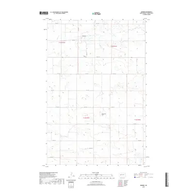
2018 Map of Werner
USGS Topo · Published 2018About this map
The small settlement of Werner sits at the heart of this Dunn County landscape, situated where the grid of sectional roads meets the winding path of Spring Cr. This late-era survey documents the rural character of the region, where the prairie topography is punctuated by distinctive landmarks like Horse Nose Butte. The drainage patterns of North Cr and Alkali Cr define the surrounding sections, which are partitioned by a series of numbered local routes including 90th Ave SW and 4th St SW. Genealogists and local historians will find the Werner Cem located south of the main township, providing a specific point of reference for family research in this North Dakota interior. The map reflects a landscape shaped by the Public Land Survey System, with township and range lines like t145n r93w dividing the high plains into a precise agricultural and residential network.
Find a feature on this map
23 named features on this map. Tap any name to fly to it.
Don’t see what you’re looking for? This feature index may not catch every label — zoom into the map to look around manually.
Map Details
Editions of this 2018 Werner Map
This is the sole edition of this map. No revisions or reprints were ever made.
Other maps of this area

1953 · Watford City
USGS Topo · 1:250,000

1957 · Watford City
USGS Topo · 1:250,000

1967 · Watford City
USGS Topo · 1:250,000

1970 · Halliday NE
USGS Topo · 1:24,000

1970 · Halliday NW
USGS Topo · 1:24,000

1970 · Dunn Center NE
USGS Topo · 1:24,000

1973 · Ziner Butte
USGS Topo · 1:24,000

1973 · Halliday
USGS Topo · 1:24,000

1973 · Dunn Center
USGS Topo · 1:24,000

1973 · Werner
USGS Topo · 1:24,000