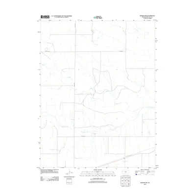
2012 Map of Weskan NW
USGS Topo · Published 2012About this map
The Smoky Hill River meanders across this high plains landscape in western Wallace County, defining the drainage patterns of this sparsely settled corner of Kansas. This 2012 survey reveals a classic section-line grid system, where rural transit is maintained by a network of numbered routes such as Road WA-N6 and Road WA-W-O. Smaller tributaries, including Willow Cr and Eagletail Cr, dissect the terrain, indicating the subtle topographic variations of the shortgrass prairie. The absence of major townships or industrial hubs highlights the area's continued reliance on agriculture and its role as a quiet expanse of the American heartland.
Find a feature on this map
6 named features on this map. Tap any name to fly to it.
Don’t see what you’re looking for? This feature index may not catch every label — zoom into the map to look around manually.
Map Details
Editions of this 2012 Weskan NW Map
This is the sole edition of this map. No revisions or reprints were ever made.
Other maps of this area

1892 · Cheyenne Wells
USGS Topo · 1:125,000

1894 · Cheyenne Wells
USGS Topo · 1:125,000

1954 · Limon
USGS Topo · 1:250,000

1954 · Lamar
USGS Topo · 1:250,000

1954 · Goodland
USGS Topo · 1:250,000

1955 · Scott City
USGS Topo · 1:250,000

1956 · Goodland
USGS Topo · 1:250,000

1957 · Limon
USGS Topo · 1:250,000

1957 · Goodland
USGS Topo · 1:250,000

1958 · Limon
USGS Topo · 1:250,000