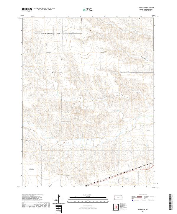
2022 Map of Weskan NW
USGS Topo · Published 2022About this map
The Smoky Hill River flows through this high plains section of Wallace County, defining a landscape shaped by intermittent watercourses and expansive rangeland. This 2022 survey captures the modern grid of rural roads that provide access across the townships of T12S and T13S, including Upland Rd and Tumbleweed Rd. The drainage patterns are clearly marked by features such as Willow Cr and the descriptively named Rattle Snake Gulch in the northeast.
Find a feature on this map
14 named features on this map. Tap any name to fly to it.
Don’t see what you’re looking for? This feature index may not catch every label — zoom into the map to look around manually.
Map Details
Editions of this 2022 Weskan NW Map
This is the sole edition of this map. No revisions or reprints were ever made.
Other maps of this area

1892 · Cheyenne Wells
USGS Topo · 1:125,000

1894 · Cheyenne Wells
USGS Topo · 1:125,000

1954 · Limon
USGS Topo · 1:250,000

1954 · Lamar
USGS Topo · 1:250,000

1954 · Goodland
USGS Topo · 1:250,000

1955 · Scott City
USGS Topo · 1:250,000

1956 · Goodland
USGS Topo · 1:250,000

1957 · Limon
USGS Topo · 1:250,000

1957 · Goodland
USGS Topo · 1:250,000

1958 · Limon
USGS Topo · 1:250,000