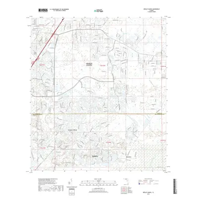
2018 Map of Wesley Chapel
USGS Topo · Published 2018About this map
Wesley Chapel serves as the focal point for this landscape where the suburban expansion of Tampa meets the hydrologic networks of the Hillsborough River. The map illustrates a dense residential development pattern north of the Pasco-Hillsborough county line, characterized by winding drives and cul-de-sacs that intersect the natural flow of Trout Creek and New River. This interplay between modern planning and the wetland terrain is evident in neighborhoods like Pebble Creek, where homes are situated among numerous small ponds and the drainage of Clay Gully.
Find a feature on this map
194 named features on this map. Tap any name to fly to it.
Don’t see what you’re looking for? This feature index may not catch every label — zoom into the map to look around manually.
Map Details
Editions of this 2018 Wesley Chapel Map
This is the sole edition of this map. No revisions or reprints were ever made.
Other maps of this area

1943 · Thonotosassa
USGS Topo · 1:24,000

1943 · Lutz
USGS Topo · 1:24,000

1944 · Sulphur Springs
USGS Topo · 1:31,680

1944 · Wesley Chapel
USGS Topo · 1:31,680

1944 · Lutz
USGS Topo · 1:31,680

1944 · Thonotosassa
USGS Topo · 1:31,680

1944 · Antioch
USGS Topo · 1:31,680

1945 · Sulphur Springs
USGS Topo · 1:31,680

1947 · Zephyrhills
USGS Topo · 1:24,000
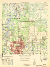
1949 · Sulphur Springs
USGS Topo · 1:25,000
Featured Places
- Tampa, FL
- Pebble Creek, FL
- Club Manor East of Grand Hampton, Tampa
- Trout Creek Commons, Tampa
- Branchton, FL