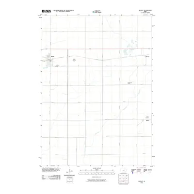
2010 Map of Wesley
USGS Topo · Published 2010About this map
The agricultural landscape of Kossuth County is anchored by the community of Wesley, where the Wesley Post Office and Saint Joseph Cemetery mark the enduring centers of local life. This 2010 survey shows the intersection of modern logistics and tradition, with small aviation facilities like the Wesley Landing Strip and Newbrough Airport appearing alongside the established townships. The grid of country roads, including Old Hwy 18 and Crane Ave, bisects the fertile prairie where the Boone River and Eddy Creek provide natural drainage for the surrounding fields. Smaller settlements such as Hutchins and Stilson are documented on the eastern edge of the quadrangle, illustrating the historical distribution of towns along the rail and road corridors of northern Iowa. The presence of Drainage Ditch Number 10 reflects the intensive engineering required to manage the regional water table for cultivation.
Find a feature on this map
28 named features on this map. Tap any name to fly to it.
Don’t see what you’re looking for? This feature index may not catch every label — zoom into the map to look around manually.
Map Details
Editions of this 2010 Wesley Map
This is the sole edition of this map. No revisions or reprints were ever made.
Other maps of this area

1954 · Fairmont
USGS Topo · 1:250,000

1954 · Mason City
USGS Topo · 1:250,000

1954 · Waterloo
USGS Topo · 1:250,000

1954 · Fort Dodge
USGS Topo · 1:250,000

1955 · Waterloo
USGS Topo · 1:250,000

1957 · Fort Dodge
USGS Topo · 1:250,000

1957 · Mason City
USGS Topo · 1:250,000

1958 · Mason City
USGS Topo · 1:250,000

1958 · Fort Dodge
USGS Topo · 1:250,000

1958 · Fairmont
USGS Topo · 1:250,000