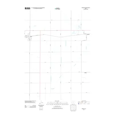
2013 Map of Wesley
USGS Topo · Published 2013About this map
The settlement of Wesley anchors this portion of Kossuth County, centered around a traditional grid of streets including W Main St, Ash St, and Read St. This agricultural landscape is defined by the headwaters of the Boone River, which flows south through the center of the township. In the northeastern corner, the small community of Hutchins is situated along the route of Old Hwy 18, reflecting the importance of historical transit corridors in rural Iowa development. Further south, the map identifies the location of Stilson, another rural node in a terrain heavily modified for drainage. The extensive network of straight-line ditches, such as Drainage Ditch Number 10, illustrates the intensive effort to manage the marshy prairie land for modern farming. Smaller watercourses like Prairie Cr in the northwest further define the hydrological character of the region as it appeared in 2013.
Find a feature on this map
39 named features on this map. Tap any name to fly to it.
Don’t see what you’re looking for? This feature index may not catch every label — zoom into the map to look around manually.
Map Details
Editions of this 2013 Wesley Map
This is the sole edition of this map. No revisions or reprints were ever made.
Other maps of this area

1954 · Fairmont
USGS Topo · 1:250,000

1954 · Mason City
USGS Topo · 1:250,000

1954 · Waterloo
USGS Topo · 1:250,000

1954 · Fort Dodge
USGS Topo · 1:250,000

1955 · Waterloo
USGS Topo · 1:250,000

1957 · Fort Dodge
USGS Topo · 1:250,000

1957 · Mason City
USGS Topo · 1:250,000

1958 · Mason City
USGS Topo · 1:250,000

1958 · Fort Dodge
USGS Topo · 1:250,000

1958 · Fairmont
USGS Topo · 1:250,000