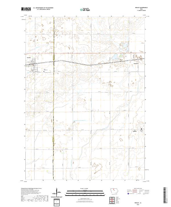
2022 Map of Wesley
USGS Topo · Published 2022About this map
The Kossuth and Hancock County border defines this northern Iowa landscape, where the town of Wesley serves as a primary settlement along US Highway 18. The map documents a classic Midwestern agricultural grid, punctuated by small communities and rural intersections. To the east, the Boone River meanders toward the south, while Drainage Ditch Number 10 and Prairie Creek indicate the region's managed water systems.
Find a feature on this map
46 named features on this map. Tap any name to fly to it.
Don’t see what you’re looking for? This feature index may not catch every label — zoom into the map to look around manually.
Map Details
Editions of this 2022 Wesley Map
This is the sole edition of this map. No revisions or reprints were ever made.
Other maps of this area

1954 · Fairmont
USGS Topo · 1:250,000

1954 · Mason City
USGS Topo · 1:250,000

1954 · Waterloo
USGS Topo · 1:250,000

1954 · Fort Dodge
USGS Topo · 1:250,000

1955 · Waterloo
USGS Topo · 1:250,000

1957 · Fort Dodge
USGS Topo · 1:250,000

1957 · Mason City
USGS Topo · 1:250,000

1958 · Mason City
USGS Topo · 1:250,000

1958 · Fort Dodge
USGS Topo · 1:250,000

1958 · Fairmont
USGS Topo · 1:250,000