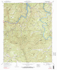
1961 Map of Wesser
USGS Topo · Published 1991About this map
Fontana Lake and the confluence of the Little Tennessee River and Nantahala River anchor this mid-century portrait of the Nantahala National Forest. The landscape is a network of small mountain communities and creek-side settlements like Almond, Lauada, and Needmore. Significant for genealogical research, the map identifies local landmarks such as Sawmill Hill Cemetery, Bushnell Cemetery, and Silver Creek Church. The presence of the Southern railroad line winding through the Nantahala Gorge illustrates the transport corridor's reliance on river-cut paths. Higher elevations are marked by distinctive peaks and gaps, including Wesser Bald, Rocky Bald, and Peachtree Gap. The convergence of Swain and Macon Counties at Big Ridge demonstrates how the high ridgelines of the Nantahala Mountains historically dictated political and geographic boundaries.
Find a feature on this map
116 named features on this map. Tap any name to fly to it.
Don’t see what you’re looking for? This feature index may not catch every label — zoom into the map to look around manually.
Map Details
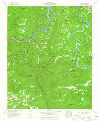
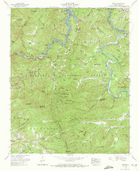
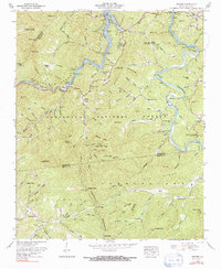
Editions of this 1961 Wesser Map
4 editions found
Other maps of this area

1891 · Cowee
USGS Topo · 1:125,000

1897 · Cowee
USGS Topo · 1:125,000

1907 · Cowee
USGS Topo · 1:125,000

1933 · Bryson
USGS Topo · 1:62,500

1933 · Bushnell
USGS Topo · 1:62,500

1935 · Franklin
USGS Topo · 1:24,000

1935 · Burningtown Bald
USGS Topo · 1:24,000

1935 · Topton
USGS Topo · 1:24,000

1935 · Wayah Bald
USGS Topo · 1:48,000

1936 · Proctor
USGS Topo · 1:24,000