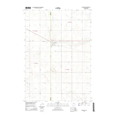
2015 Map of Wessington
USGS Topo · Published 2015About this map
Wessington sits at the heart of this East River landscape, positioned precisely on the Hand Co Beadle Co boundary line. This 2015 data illustrates a classic prairie town structure, where the local street grid including Brook St and Barden St W centers around the town's core and the Po. The surrounding territory is defined by the subtle drainage patterns of Cain Cr, Pearl Cr, and Silver Cr, which meander through the section lines of the Public Land Survey System. For those researching local history, the Wessington Cem located just northwest of the main settlement provides a specific point of interest. The map documents a meticulously gridded agricultural region where numbered avenues and streets, such as 374th Ave and 202nd St, facilitate movement between the scattered farmsteads of Beadle and Hand counties.
Find a feature on this map
29 named features on this map. Tap any name to fly to it.
Don’t see what you’re looking for? This feature index may not catch every label — zoom into the map to look around manually.
Map Details
Editions of this 2015 Wessington Map
This is the sole edition of this map. No revisions or reprints were ever made.
Other maps of this area

1899 · Redfield
USGS Topo · 1:125,000

1949 · Vayland SE
USGS Topo · 1:24,000

1950 · Vayland
USGS Topo · 1:24,000

1950 · Wessington
USGS Topo · 1:24,000

1950 · Wessington NE
USGS Topo · 1:24,000

1951 · Wessington SE
USGS Topo · 1:24,000

1951 · Wessington SW
USGS Topo · 1:24,000

1951 · Vayland SE
USGS Topo · 1:24,000

1953 · Huron
USGS Topo · 1:250,000

1954 · Huron
USGS Topo · 1:250,000