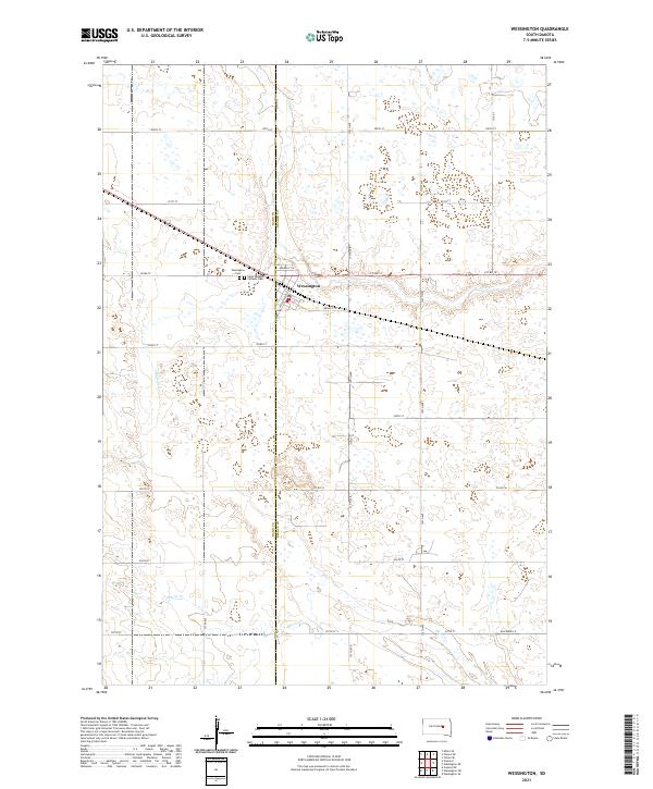
2021 Map of Wessington
USGS Topo · Published 2021About this map
Wessington sits at the intersection of local history and rural geography, straddling the Hand Co Beadle Co line. This modern survey illustrates the organized grid of the South Dakota prairie, where a network of numbered section roads like 200th St and 375th Ave connects outlying farms to the community center. Waterways such as Cain Cr and Silver Cr cut through the township boundaries, providing a natural contrast to the rigid legal divisions of t112n r66w and t111n r65w. For those tracing local heritage, the map identifies key sites including the Wessington Cem and Saint Josephs Catholic Cem, which remain as essential landmarks for genealogical research in this agricultural region.
Find a feature on this map
30 named features on this map. Tap any name to fly to it.
Don’t see what you’re looking for? This feature index may not catch every label — zoom into the map to look around manually.
Map Details
Editions of this 2021 Wessington Map
This is the sole edition of this map. No revisions or reprints were ever made.
Other maps of this area

1899 · Redfield
USGS Topo · 1:125,000

1949 · Vayland SE
USGS Topo · 1:24,000

1950 · Vayland
USGS Topo · 1:24,000

1950 · Wessington
USGS Topo · 1:24,000

1950 · Wessington NE
USGS Topo · 1:24,000

1951 · Wessington SE
USGS Topo · 1:24,000

1951 · Wessington SW
USGS Topo · 1:24,000

1951 · Vayland SE
USGS Topo · 1:24,000

1953 · Huron
USGS Topo · 1:250,000

1954 · Huron
USGS Topo · 1:250,000