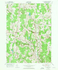
1949 Map of West Bainbridge
USGS Topo · Published 1971About this map
West Bainbridge and Coventryville serve as central hubs in this mid-century survey of the upland dairy country of Chenango County. The landscape is defined by its numerous water bodies, including the secluded Brackett Lake and Echo Lake, which drain through narrow valleys toward Kelsey Creek and Wilkins Brook. This era shows a network of named rural roads such as Owlville Road and Stumptown Road connecting long-standing crossroads like Puckerville Corners and Blakesley Corner.
Find a feature on this map
41 named features on this map. Tap any name to fly to it.
Don’t see what you’re looking for? This feature index may not catch every label — zoom into the map to look around manually.
Map Details
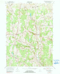
Editions of this 1949 West Bainbridge Map
2 editions found
Other maps of this area

1902 · Coventry
USGS Topo · 1:62,500

1904 · Oxford
USGS Topo · 1:62,500

1905 · Nineveh
USGS Topo · 1:62,500

1915 · Unadilla
USGS Topo · 1:62,500

1918 · Unadilla
USGS Topo · 1:62,500

1924 · Deposit
USGS Topo · 1:62,500

1926 · Deposit
USGS Topo · 1:62,500

1943 · Sidney
USGS Topo · 1:24,000
1943 · Guilford
USGS Topo · 1:24,000

1944 · Deposit
USGS Topo · 1:62,500