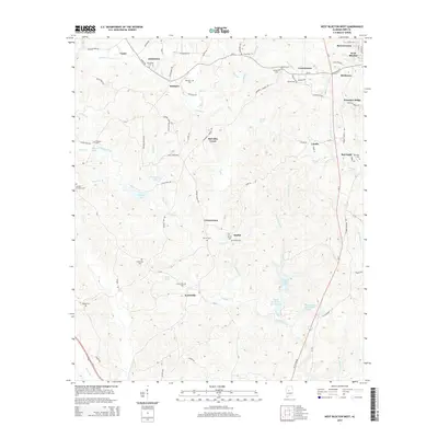
2014 Map of West Blocton West
USGS Topo · Published 2014About this map
Scottsville and Johnstown anchor this portion of the Alabama landscape, where the terrain is defined by the winding course of Schultz Creek and its many tributaries. The area is dense with family-named landmarks and historical burial grounds, including the Scottsville Cem, Belchers Cem, and the Kinard Cem near Lowerytown. These small, scattered settlements such as Vernontown and Moffat indicate a legacy of rural communities tied to the local water sources and timberlands.
Find a feature on this map
99 named features on this map. Tap any name to fly to it.
Don’t see what you’re looking for? This feature index may not catch every label — zoom into the map to look around manually.
Map Details
Editions of this 2014 West Blocton West Map
This is the sole edition of this map. No revisions or reprints were ever made.
Other maps of this area

1899 · Brookwood
USGS Topo · 1:125,000

1931 · Cottondale
USGS Topo · 1:48,000

1934 · Cottondale
USGS Topo · 1:62,500

1934 · Blocton
USGS Topo · 1:48,000

1940 · Blocton
USGS Topo · 1:62,500

1953 · Montgomery
USGS Topo · 1:250,000

1953 · Birmingham
USGS Topo · 1:250,000

1956 · Birmingham
USGS Topo · 1:250,000

1956 · Montgomery
USGS Topo · 1:250,000

1957 · Birmingham
USGS Topo · 1:250,000