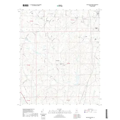
2018 Map of West Blocton West
USGS Topo · Published 2018About this map
Schultz Creek and its many tributaries, including Hill Creek and Licklog Branch, carve a dense network of drainages across this portion of the Alabama landscape. Small communities like Vernontown, Moffat, and Lowerytown are connected by a web of rural routes such as Scottsville Road and Old Highway 5. The area is notably dense with family and community burial grounds, from the Johnstown Cemetery in the north to the Haysop Cemetery in the southwest, suggesting a long history of local settlement and genealogical continuity. Industrial and transport footprints are visible through the path of the BNSF Railway near Vance and the presence of Stone Quarry Branch. The terrain rises to the east at Primitive Ridge, while recreational or industrial water bodies like Crystal Lake and Shady Grove Lakes dot the southern reaches of the quadrangle.
Find a feature on this map
93 named features on this map. Tap any name to fly to it.
Don’t see what you’re looking for? This feature index may not catch every label — zoom into the map to look around manually.
Map Details
Editions of this 2018 West Blocton West Map
This is the sole edition of this map. No revisions or reprints were ever made.
Other maps of this area

1899 · Brookwood
USGS Topo · 1:125,000

1931 · Cottondale
USGS Topo · 1:48,000

1934 · Cottondale
USGS Topo · 1:62,500

1934 · Blocton
USGS Topo · 1:48,000

1940 · Blocton
USGS Topo · 1:62,500

1953 · Montgomery
USGS Topo · 1:250,000

1953 · Birmingham
USGS Topo · 1:250,000

1956 · Birmingham
USGS Topo · 1:250,000

1956 · Montgomery
USGS Topo · 1:250,000

1957 · Birmingham
USGS Topo · 1:250,000